How 5 International Water Treaties Are Holding the World Together — Barely
Explore 5 key international water treaties shaping global peace and resource security. Learn what's at stake when nations share rivers — and why these deals matter now more than ever.
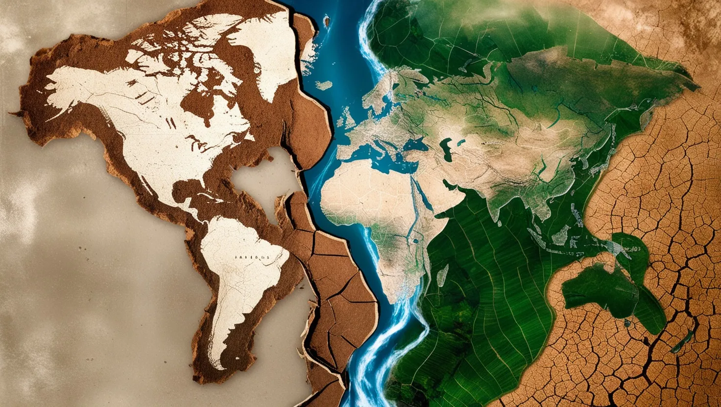
Water doesn’t care about borders. It flows where gravity takes it, crossing mountains, plains, and political lines drawn by humans on maps. And when a river crosses from one country into another, it carries with it the seeds of both cooperation and conflict. Right now, roughly 60% of the world’s freshwater flows through rivers shared by two or more nations. That’s not a small number. That’s the drinking water, the irrigation systems, and the power grids of billions of people held together — or torn apart — by diplomatic agreements that most people have never heard of.
So let’s talk about five of these agreements. Not in the dry, textbook way. But in a way that helps you understand what’s actually at stake when two countries sit across a table and decide who gets how much water.
The Indus Waters Treaty: The Agreement That Outlived Wars
In 1960, India and Pakistan signed one of the most remarkable water agreements in history. The Indus Waters Treaty, brokered by the World Bank, divided six rivers between the two countries. India got the three eastern rivers — Ravi, Beas, and Sutlej. Pakistan got the three western ones — Indus, Jhelum, and Chenab.
Here’s what makes this genuinely astonishing: India and Pakistan have fought four wars since then. They’ve been on the brink of nuclear conflict. They’ve traded accusations, expelled diplomats, and closed borders. But the treaty has held for over 60 years.
“Water is the driving force of all nature.” — Leonardo da Vinci
Why? Partly because Pakistan is almost entirely dependent on those western rivers for agriculture. About 90% of Pakistan’s irrigated farmland depends on the Indus system. If that water disappears, the country faces famine, not just inconvenience. So the stakes are too high for either side to walk away completely.
But here’s the lesser-known part: the treaty has been under serious strain lately. India has been building hydroelectric dams on the western rivers — which it’s allowed to do under the treaty, as long as it doesn’t divert the water. Pakistan argues these dams give India the ability to control water flow during critical planting seasons. The Permanent Indus Commission, which meets annually, has become increasingly tense. Ask yourself — can an agreement written in 1960 really handle the pressures of climate change, growing populations, and modern dam technology? That’s the question that nobody has a clean answer to.
The Mekong River Commission: Managing the World’s Most Dammed River
The Mekong flows through China, Myanmar, Laos, Thailand, Cambodia, and Vietnam. It’s one of the most biodiverse rivers on earth and feeds the diets of roughly 60 million people in the lower basin through fish and rice cultivation.
The Mekong River Commission, formed in 1995, brings together Cambodia, Laos, Thailand, and Vietnam to coordinate how they manage the river. They share flood data, consult on dam projects, and try to agree on seasonal water flows.
Here’s the problem nobody talks about enough: China is not a full member. China, which sits at the top of the river and has built a cascade of massive dams on the upper Mekong (called the Lancang in China), participates only as a “dialogue partner.” That means China shares some data but isn’t bound by the commission’s rules.
“Whiskey is for drinking; water is for fighting over.” — Often attributed to Mark Twain
Satellite data analyzed by researchers has shown that in drought years, Chinese dams upstream have held back water, drastically reducing downstream flow into Southeast Asia — at times when farmers needed it most. Downstream countries have raised concerns, but diplomatically, they have little leverage over a much more powerful neighbor.
What’s interesting here is the commission’s real value isn’t just in stopping conflicts — it’s in creating a space where technical experts from rival nations share flood warnings and environmental data. When a dam in Laos failed in 2018, the commission’s data-sharing systems helped coordinate emergency response across borders. That practical, unglamorous work saves lives.
The Nile Basin Initiative: Eleven Countries, One River, No Final Agreement
The Nile is the world’s longest river, and it touches eleven countries. Egypt and Sudan have historically dominated its use, protected by colonial-era treaties from 1929 and 1959 that gave Egypt the lion’s share of the water and even gave it veto power over upstream projects.
The Nile Basin Initiative, launched in 1999, brought all eleven countries together to negotiate a more equitable framework. It has produced cooperation on development projects, environmental studies, and technical data sharing. But here’s the thing — it has not produced a legally binding agreement on water allocation. That core issue remains unresolved.
The Grand Ethiopian Renaissance Dam, which Ethiopia began building in 2011, changed everything. Ethiopia argued it had the right to develop its own river resources to generate electricity and lift millions from poverty. Egypt argued this threatened its water security and called the dam an existential threat.
Can you imagine what it feels like for a country that depends on one river for nearly all its freshwater to watch a dam rise upstream? That’s Egypt’s reality. The Nile provides over 90% of Egypt’s freshwater, and the country has almost no rainfall. The negotiations between Ethiopia, Sudan, and Egypt have gone through rounds of talks, near-agreements, and collapses. No resolution has been reached.
What the Nile situation shows is that an initiative without enforcement is only as strong as the goodwill of its members. When national survival feels threatened, goodwill runs out fast.
The Colorado River Compact: When the Math Was Wrong From the Start
The Colorado River Compact was signed in 1922 by seven American states and later extended to include Mexico. It allocated 15 million acre-feet of water annually. There was just one problem: the measurements used to create the compact came from an unusually wet period. The actual average flow of the river is significantly lower.
“In the desert, the only god is water.” — Edward Abbey
So the compact has been overallocating water since the day it was signed. It promised more water than the river actually produces. And now, with prolonged drought driven by rising temperatures, Lake Mead and Lake Powell — the two largest reservoirs in the United States — have dropped to historically low levels. At certain points, they’ve been below 30% capacity.
Mexico, which receives its Colorado River allocation at the very end of the line, often gets water that is heavily salinized from agricultural runoff, or sometimes almost nothing. A 1944 treaty with Mexico guarantees it a set volume annually, but drought-sharing rules have created ongoing tensions.
What’s the unconventional angle here? The compact is essentially a lesson in how political agreements can be built on faulty data and still bind generations of people. Fixing it requires every state and Mexico to agree to take less. And politically, that’s nearly impossible. So what happens? Farmers drill deeper wells, cities buy water rights from agricultural districts, and the slow-motion crisis continues.
The Senegal River Basin Organization: The Quiet Success Story
You probably haven’t heard much about the Organisation pour la Mise en Valeur du fleuve Sénégal, or OMVS. That’s exactly the point. It’s been quietly working since 1972, bringing together Senegal, Mali, Mauritania, and later Guinea, to jointly manage the Senegal River.
What makes OMVS unusual is its structure. The infrastructure — dams, navigation systems, irrigation canals — is jointly owned by all member states. The costs and benefits are shared according to agreed formulas. Two major dams, Manantali and Diama, provide hydropower and irrigation to all four countries.
Here’s the fascinating part: despite land and border conflicts between Senegal and Mauritania in 1989 that led to hundreds of deaths, the OMVS continued to function. The joint management of water infrastructure gave both countries a financial and practical reason to keep talking even when they were expelling each other’s citizens.
“Water is life’s matter and matrix, mother and medium. There is no life without water.” — Albert Szent-Györgyi
That’s the real power of these agreements when they’re designed well. They create interdependence. When two governments jointly own a dam and both need the electricity it generates, they have a very concrete reason to prevent the relationship from completely collapsing.
Climate change is quietly making every one of these agreements more fragile. Glaciers that feed the Indus are retreating. Rainfall patterns feeding the Nile are shifting. The Colorado gets less snow. The Mekong faces longer dry seasons. These treaties were written for a climate that no longer exists.
What will it take to update them? Politically, the harder question is whether countries will find the courage to renegotiate before a crisis forces them to. History suggests they usually wait for the crisis. But the scale of disruption that water scarcity can cause — famines, displacement, conflict — means the cost of waiting keeps rising.
The rivers keep flowing. The agreements, creaking at their edges, keep holding. For now.